
Kalamazoo Neighbors Around One Block
For Kalamazoo neighbors, first decide whether the question concerns an adjacent parcel, the recorded owner, a known voter, or older occupants. County GIS establishes geography. Parcel Search turns a selected polygon into an owner and parcel-ID search. The city property route can add details for city parcels, while the deed index dates a recorded transfer. KPL's criss-cross books and city directories are the historical layer. None of these sources produces a complete current household list, and a block can cross a street, alley, municipal line, or jurisdiction.
| Block source | What it can establish | Access route |
|---|---|---|
| County GIS | Adjacent polygon shape, roads, aerials, tax-map, soil, and wetland context | Public viewer with click, pan, zoom, and select tools |
| Parcel Search | Owner, parcel ID, street results, and municipal assessor links | Free owner, parcel, and street modes |
| City BS&A route | City owner, tax, building, sale, and permit-related tabs where exposed | Address-first route for city parcels |
| Deeds Search | Recorded ownership chain, parties, dates, and legal description | Free index with paid images or copies |
| Michigan voter lookup | A known registration match and polling details | Name, license, or address panels, not a streetwide result |
| KPL directories | Earlier occupants and address sequence | Local History Room, microfilm, catalog, and digitized links |
A map position and a deed should be recorded in separate fields. One answers where the parcel lies; the other supports a recorded ownership claim. A tax mailing address can be different from the parcel's situs, and it is not proof that the addressee lives at the property.
Kalamazoo Parcel Maps Define Adjacency
The Kalamazoo County Parcel Viewer supplies parcel geometry, tax maps, aerial imagery from 2018 through 2023, soils, and National Wetland Inventory layers. Select the target parcel, zoom to the block, and click each touching or nearby polygon. The viewer's annual parcel-layer update aligns it with the tax roll, but its maps are informational. They are not a recorded survey, navigation tool, or precise measurement source.
Use the map for the physical question: which parcel is next door, across the alley, or around a corner? Use the record custodian for the ownership question. A corner parcel can have a mailing address on another street, and a multi-unit building can have one assessed owner with many private households. Preserve the viewer date and the layer used. That record explains why a parcel appeared adjacent in the research.
| Viewer control | Block-research use and limit |
|---|---|
| Parcel layer | Select a parcel polygon and its available identifier or attribute link. |
| Pan and zoom | Browse a street segment and compare nearby polygons. |
| Tax maps and aerial imagery | See visual context; aerial imagery listed by the county spans 2018-2023. |
| Soils and wetland layers | Add land context, not a legal determination of a boundary or condition. |
| Measure | Use only for rough context, never as a legal survey dimension. |
Note: The public landing page did not expose a named radius or buffer tool, so adjacent-parcel research should remain a click-and-browse method.
Map Kalamazoo Neighbors Through Parcels
The defensible process is address to parcel, parcel to owner record, then owner record to historical or civic context. Start with a single address and work outward only as far as the map relationship supports. The county viewer is the common geographic frame across Kalamazoo County, but a municipal assessor remains the authority for its own detailed property card.
- Locate the target address in the GIS viewer and select its parcel polygon.
- Pan and zoom to identify the touching parcels, the parcels across an alley or road, and any municipal boundary.
- Record each displayed parcel ID, then run that ID in Kalamazoo County Parcel Search for the owner, situs, mailing context, and assessor handoff.
- Use the owner's name, legal description, and date range in the deed index when a recorded ownership trail matters.
- For a whole named street, use the separate Kalamazoo by-street directory workflow rather than treating a few map clicks as a streetwide roster.
Measure is only approximate context. Where a parcel split, a plat, parent parcel, or lot-and-block description is often a better link to older records than the current parcel number.
For every Parcel Search result, keep the current owner, situs address, mailing address, parcel ID, land or building details, value or tax fields when shown, and any linked deed clue. The mailing address is a useful lead, not evidence of residence. A homestead indicator can support an ownership inference, but it is not a household roster.
Kalamazoo City Parcels Need Context
For properties inside the city, the City of Kalamazoo property route begins by address. Its public description identifies property information, photos, current owner, tax data, land and building details, sale history, tax history, building-department permit issue and inspection detail, and invoices where available. It is a city-property source, not a countywide list of Kalamazoo neighbors.
City and county pages have different roles. The county map helps compare the block, while a city or township assessor gives its current detailed card. Permits can date work at an address, and a sale or tax tab can corroborate a timeline. They do not identify every person connected to a parcel. For a record not online, the City Clerk's written Michigan FOIA route is a way to request a specific existing municipal record, not a request for a newly created block compilation.
Note: A city property result can add context for one parcel, but it is not a substitute for the county map's block geometry.
Kalamazoo Neighbor Voter Limits
The Michigan Voter Information Center is a confirmation tool for a known registration. Its public form has name, birth-month, birth-year, and ZIP fields, plus license and address panels. A result can help check registration, polling place, hours, sample ballot, early voting, subscriptions, or ballot tracking. A name match needs an address, year, registration status, and precinct check. The ordinary lookup does not provide a public streetwide list.
A scoped QVF request under Michigan FOIA is different. Public fields may include name, residential and mailing address, year of birth, registration date, voter status, voter ID, and requested history. Full birth date, phone, email, license or ID number, signature, and protected data are excluded. A request can specify county, jurisdiction, precinct, or another listed scope, but should not be confused with a casual real-time lookup. ACP treatment also protects a qualifying participant's actual address with a designated address.
Kalamazoo Neighborhood Association Routes
The City of Kalamazoo neighborhoods map names more than twenty civic areas and indicates which have active associations. It does not publish resident membership or a public household roster. Use an active association's public route when available, or begin with the city map and neighborhood label. The labels are useful geographic context, not evidence that a person belongs to a group or lives within a label.
City neighborhood map
Public contact route for Arcadia, Eastside, Edison, Milwood, Northside, and other mapped areas. It supplies neighborhood identity and association-status context, not member names.
Historic and civic areas
For Oakwood, Parkview Hills, Stuart, Vine, and West Main Hill, begin with the city map, then use an active association's public route or the relevant historic contact.
Map-only labels
Burke Acres, Colony Farm, Douglas, Hill N Brook, Knollwood, South Westnedge, Southside, and WMU/KRPH have civic geography, but no verified citywide member-address directory.
The neighborhood map and association inventory is the verified public source for this layer.
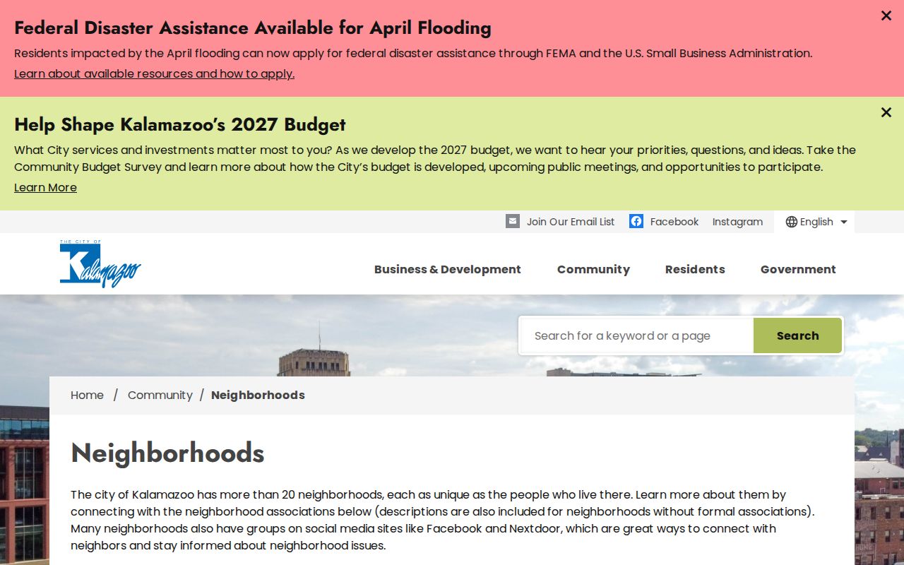
The inventory makes clear why a neighborhood name is best used to find civic context, not to infer a resident list.
Kalamazoo Historic Blocks Add Context
Historic-district records can explain why a group of structures, permits, plats, and deed dates cluster in one era. The city recognizes six local districts and eleven single-resource districts. Haymarket, Rose Place, South Street, Stuart, Vine, and West Main Hill are among the named places. South Street was platted in 1841, Stuart developed in the late nineteenth century, and West Main Hill was platted in 1888 before early twentieth-century development.
The City's historic-district material is useful alongside parcel geometry and older directories.
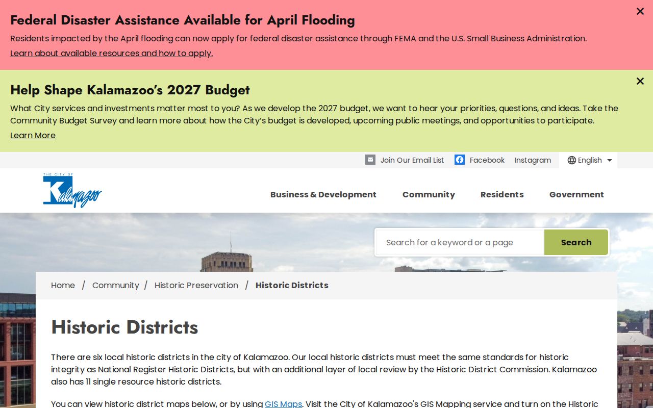
A district boundary can supply development context, but it does not establish ownership, occupancy, or association membership for a particular address.
Kalamazoo Archives Preserve Block History
For an older Kalamazoo block, KPL's newspaper and directory files, WMU regional collections, city preservation files, and local-history groups can supply a citation, photograph, paper, or publication. The Kalamazoo County Historical Society advertises local-history activity and membership, but the public site does not expose a complete name index or member directory. That boundary matters when a block question shifts from present property records to a historical community question.
The Kalamazoo County Historical Society's public contact page is one starting point for county-history connections.

Ask a repository for a subject file, finding aid, citation, or primary collection rather than assuming an archival reference is a current roster.
Note: A collection citation can document earlier block life in a historic era without identifying a current household.
Kalamazoo Neighbor Sources Compared
Official and commercial categories answer different questions. An official parcel, deed, voter, or municipal source can be tied to its custodian and date. Commercial neighbor-lookup tools assemble address associations from many sources and can merge old owners, relatives, or unrelated people. Use the latter, if encountered, only as an unverified lead. Return to the county parcel record, recorded document, voter custodian, or city office before treating a name as reliable.
| Source category | Strength | Limit |
|---|---|---|
| Official parcel and deed records | Dated parcel and recorded-party evidence from a named custodian | Owner evidence is not a full household list |
| Official voter channel | Known registration confirmation and defined public-file rules | Lookup is not a public block roster; protected fields stay withheld |
| Commercial neighbor tools | May suggest an address association to verify | Can combine stale, unrelated, or mismatched associations |
Note: Treat an address association from a commercial category as a lead to check, never as a final identity conclusion.
Kalamazoo Neighbor Lookup Privacy
Adjacent parcels and recorded owners are not the same as adjacent households. Renters, other household members, utility customers, delivery data, driver records, and private association information are not ordinary GIS fields. Michigan voter records also withhold sensitive fields, and the Address Confidentiality Program can substitute a designated address for an eligible participant. A non-match can reflect a name variation, status, a move, protected treatment, or no registration. It should not become a conclusion about the household.
Keep current names separate from historical names, and preserve the source date. For an older block, a criss-cross directory, newspaper citation, deed, permit, or historic-district record can add context without being presented as a modern resident roster.
Lawful use. Kalamazoo neighbor research is for getting to know a block, family history, civic curiosity, and personal safety awareness. Do not use records to stalk, harass, intimidate, or harm anyone.